
Optimal resolution tomography with error tracking
and the structure of the crust and upper mantle beneath Ireland and Britain
https://doi.org/10.1093/gji/ggab169
(Please bear with us, this page is under construction)
The continual measurement-error decreases and
data-redundancy increases in the world of seismology have reduced the impact of random errors on tomographic models. Systematic errors, however, are resistant to data redundancy and their effect on the model is
difficult to predict. Here, we develop a method for finding the optimal resolving length at every
point, implementing it for surface-wave tomography. Every solution at a point results from an entire-system inversion, and the model error is reduced by increasing the model-parameter averaging. The key advantage of our method stems from its direct, empirical evaluation of the posterior model error at a point.
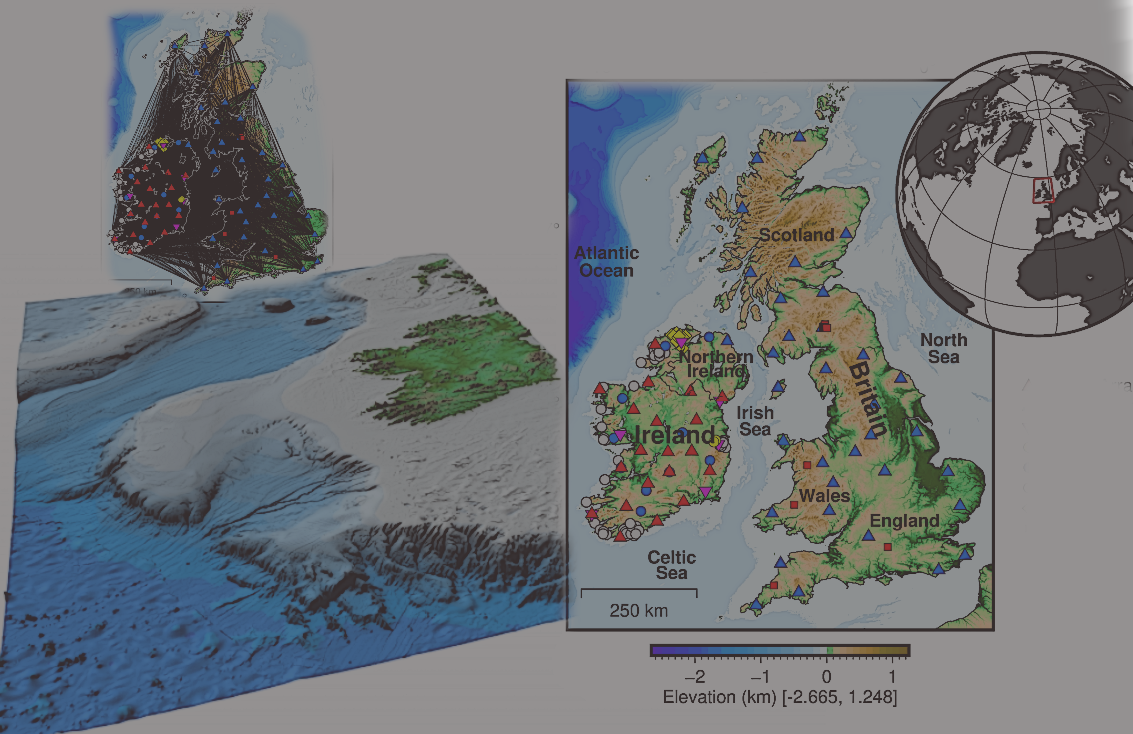
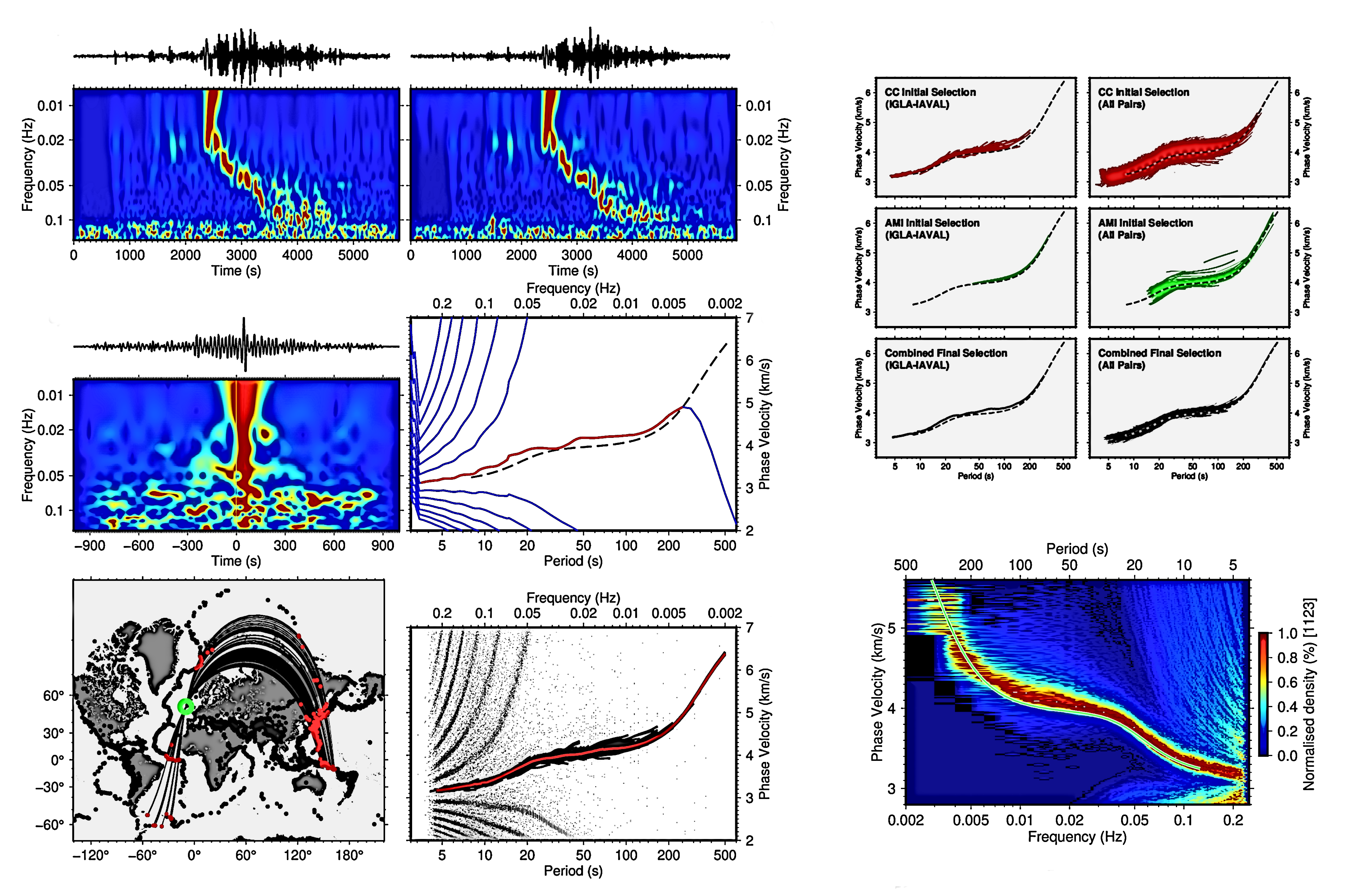
We first measure inter-station phase velocities at simultaneously recording station pairs and compute phase-velocity maps at densely, logarithmically spaced periods. Numerous versions of the maps with varying
smoothness are then computed, ranging from very rough to very smooth. Phase-velocity curves
extracted from the maps at every point can be inverted for shear-velocity profiles. As
we show, errors in these phase-velocity curves increase nearly monotonically with the map
roughness.
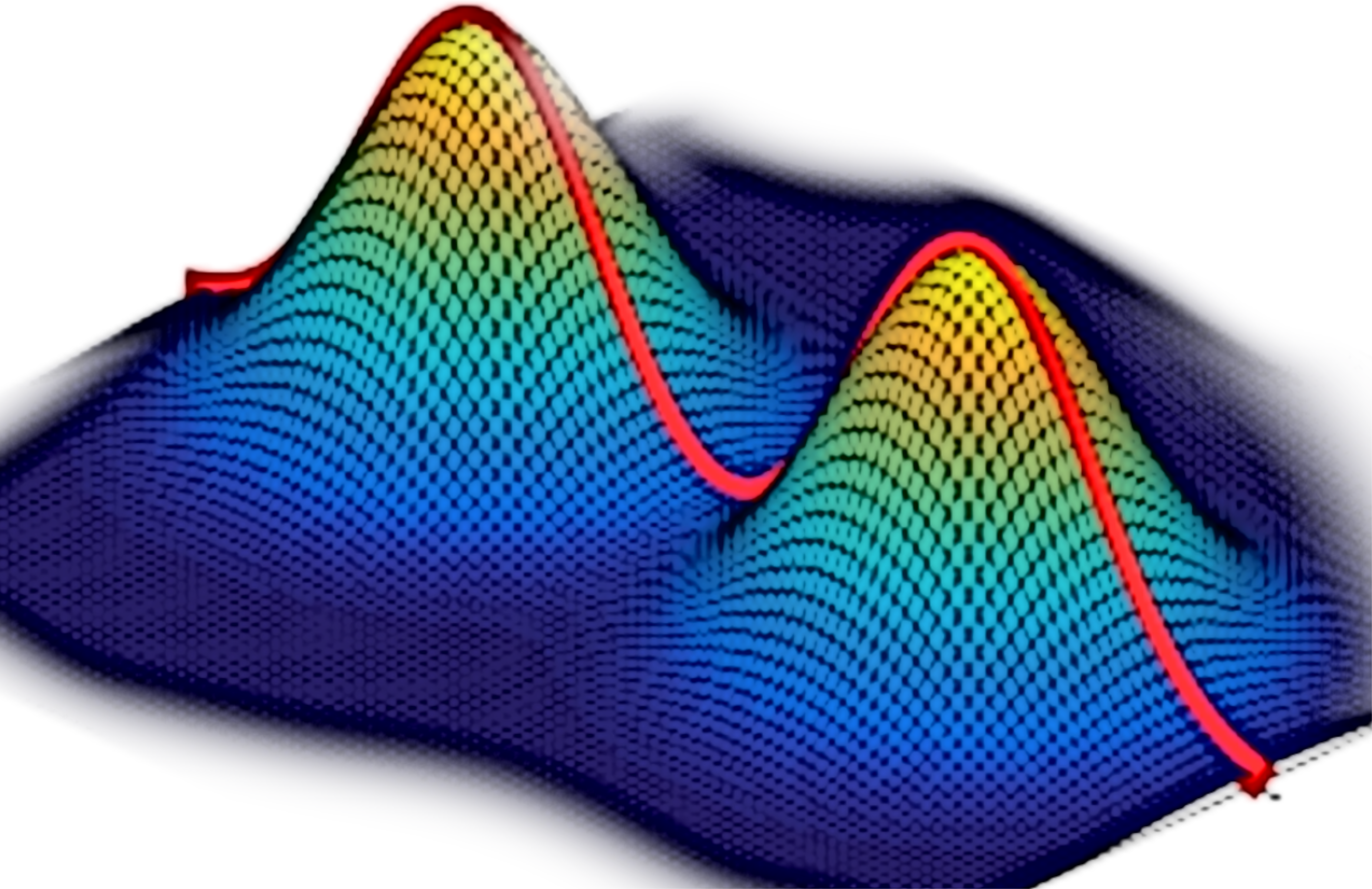
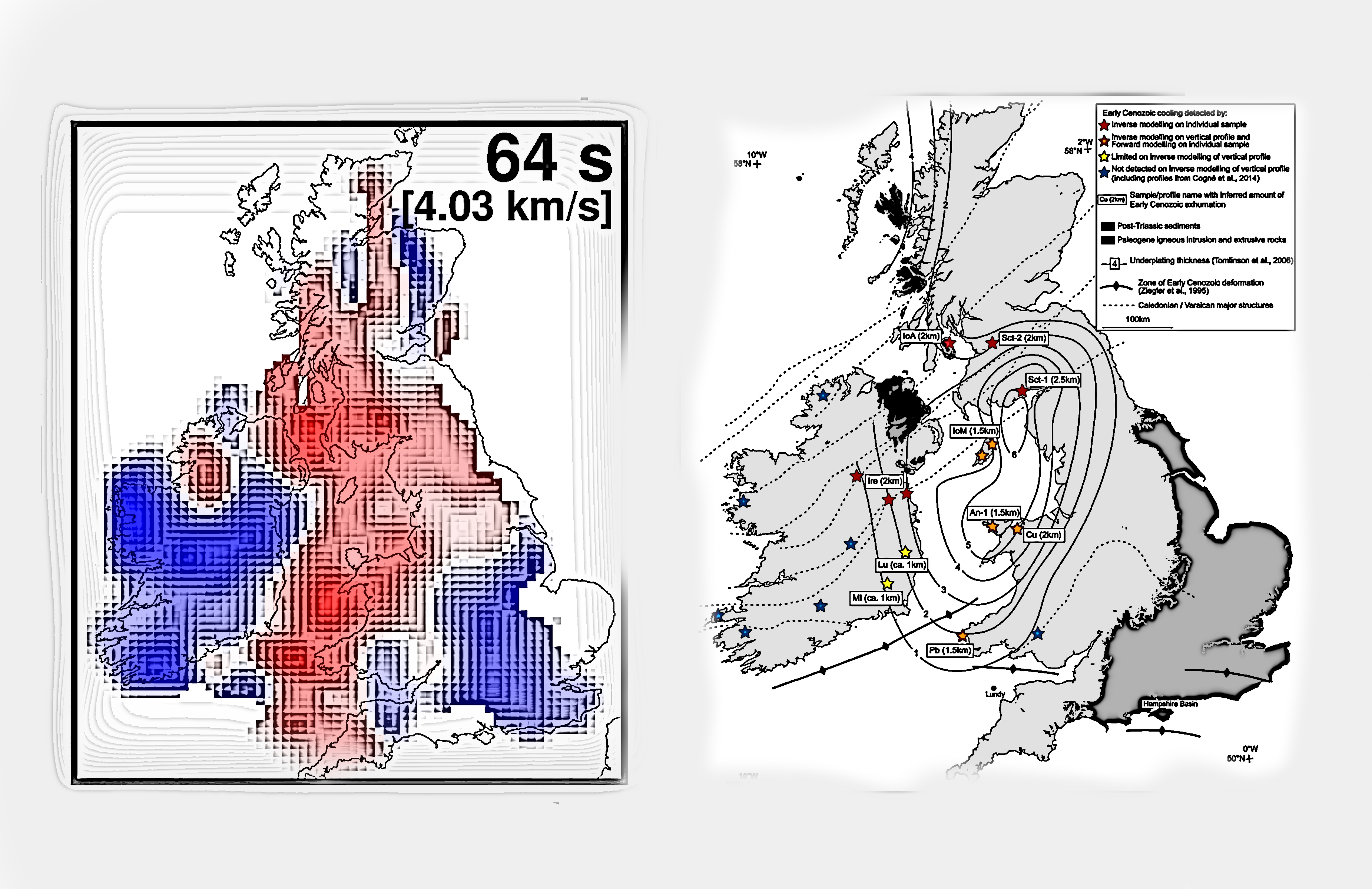
We evaluate the error by isolating the roughness of the phase-velocity curve that cannot be explained by any Earth structure and determine the optimal resolving length at a point such that the error of the local phase-velocity curve is below a threshold. A 3-D shear-velocity model is then computed by the inversion of the composite phase-velocity maps with an optimal resolution at every point. The estimated optimal resolution shows smooth lateral variations, confirming the robustness of the procedure. Importantly, the optimal resolving length does not scale with the density of the data coverage: some of the best-sampled locations display relatively low lateral resolution, probably due to systematic errors in the data.

